
Best Backpacking Trips in Utah's Uinta Mountains
Posted by Derek Newman on 28th Jul 2026
The Uinta Mountains run east to west, which makes them an outlier among the Rockies, and that layout carves out basin after basin of high alpine lakes, more than a thousand of them across the range. Most access points sit within two to three hours of Salt Lake City and Park City, and the majority of the trailheads below open off the Mirror Lake Highway (UT-150) or the gravel forest roads on the range's south and north slopes. A self-serve day-use pass covers most trailheads, and the Interagency Annual Pass works too, though the Mirror Lake Highway itself runs a separate fee window from Memorial Day through late October.
The five trips below run from a lakeside stroll a six-year-old can handle to Utah's highest summit, ordered easiest to hardest so you can match a trip to your crew, your timeline, and how much weight you want to carry. Snow lingers into July at elevation most years, so plan for a July through September window no matter which trip you pick, and pack for afternoon thunderstorms. In the Uintas they roll in fast.
Trip 1: Ruth Lake — Easiest
Trailhead: Ruth Lake Trailhead, Mirror Lake Highway (mile marker 35), about 35 miles east of Kamas
Distance: about 2 miles round trip
Elevation gain: around 260 feet
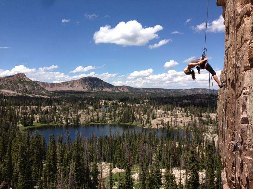
Ruth Lake is the trip to bring a first-time backpacker, a family with young kids, or anyone testing new gear before a longer trip. The trail climbs gently through pine forest and wildflower meadows for well under a mile before opening onto the lake, with Hayden Peak rising behind you the whole way. At about 2 miles round trip and only 260 feet of gain, it's short enough to hike in, set up camp, and still have the afternoon free to fish or explore. Campsites ring the lake, so plan to camp at least 200 feet back from the water. Confident hikers can extend the day with an off-trail loop past Jewel, Cutthroat, and Teal Lakes nearby, though those social trails call for real navigation skills. There's a vault toilet at the trailhead, and the Mirror Lake Highway fee applies.
Trip 2: Cuberant Lake — Easy to Moderate
Trailhead: Pass Lake Trailhead, Mirror Lake Highway (mile marker 32), about 32 miles east of Kamas
Distance: about 6.5 miles round trip
Elevation gain: around 960 feet
Cuberant Lake is the next step after Ruth Lake, longer than an afternoon stroll but still forgiving enough for a first backpacking trip. From the Pass Lake Trailhead, the route follows the Lofty Lake Loop through open meadows with Bald Mountain and Reids Peak filling the view, then splits off toward Cuberant Basin for a short, steep push along the shoulder of Mount Marsell before dropping down to the lake. At about 6.5 miles round trip and 960 feet of gain, most of the trail stays mellow, with the one real climb concentrated into a few hundred feet near the end. Cuberant is the largest of seven lakes tucked into the basin, long and narrow rather than round, and it sees noticeably less traffic than the more famous stops along the highway. Campsites are plentiful around the lake, and the smaller, unnamed lakes nearby are worth a wander if you brought a map or GPS.
With several lakes to explore in one basin, you'll want a water filter that can keep up. The MSR MiniWorks EX Water Purification System is a proven, field-serviceable pump filter that handles the silty water common in high alpine lakes better than most straw or gravity filters, and it's simple to disassemble and clean at camp if flow slows down.
MSR MiniWorks EX Water Purification System   |
Trip 3: Island Lake — Moderate
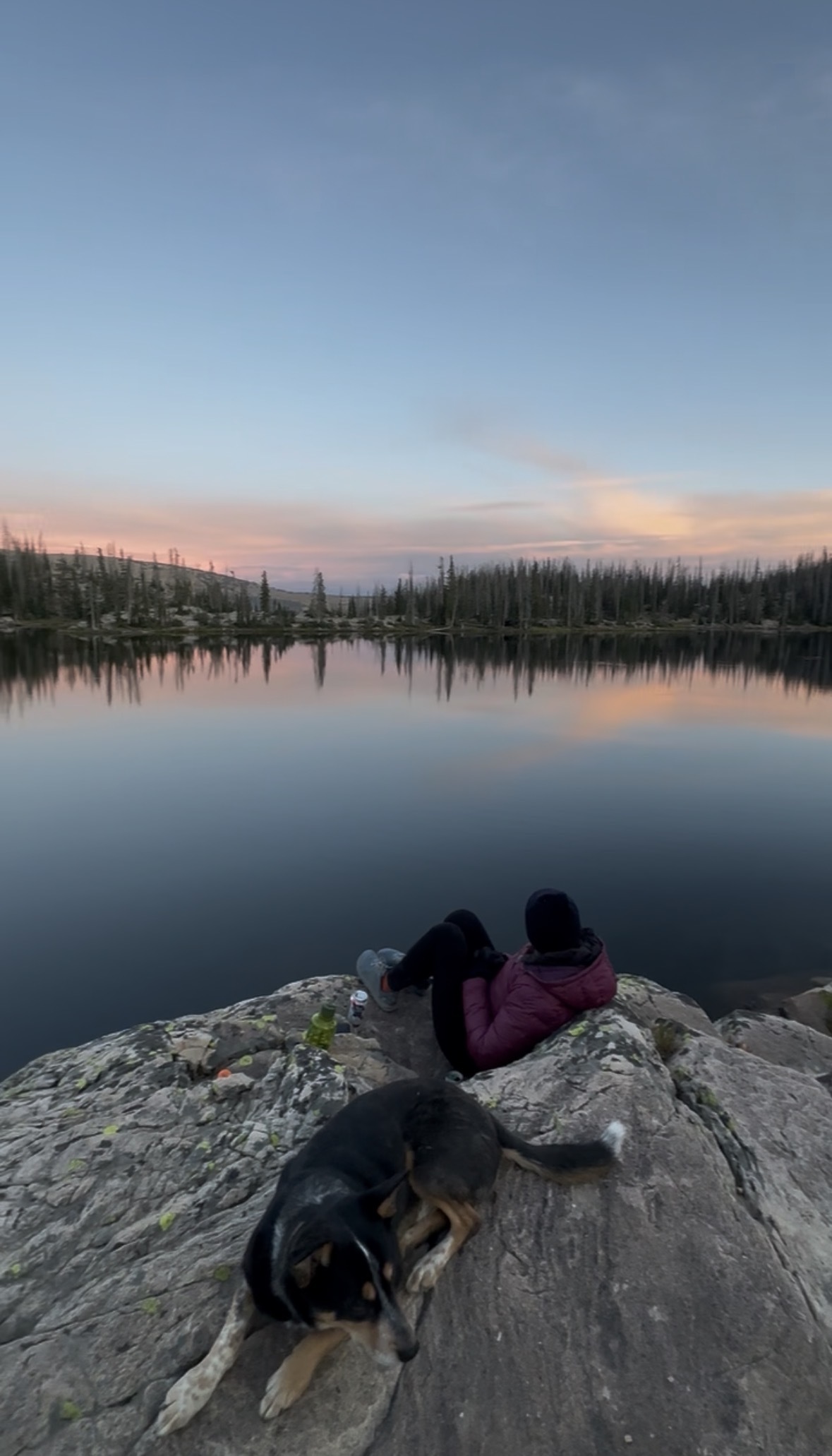
Trailhead: Crystal Lake Trailhead, Mirror Lake Highway, about 26 miles east of Kamas
Distance: about 9 miles round trip
Elevation gain: around 1,100 feet, rolling rather than steady
Island Lake is the next step up once Cuberant Lake feels too easy, and it's one of the most photographed lakes in the range for good reason. High cliffs drop straight into deep, clear water, with a small island near the center giving the lake its name. From the Crystal Lake Trailhead, the trail climbs past Long Lake and Weir Lake before switchbacking up to Island Lake around mile 4, with about 1,100 feet of rolling elevation change along the way rather than one steady climb. At around 9 miles round trip, it's a full day on trail, and a common choice for backpackers ready to build on a first trip or two. Fishing runs to large, wary cutthroat that key on freshwater shrimp more than insects, so a pink shrimp pattern outfishes standard dry flies here. Add the short loop out to Duck Lake, another 1.6 miles, if you want to see more water without adding real difficulty, or push further to Fire Lake and Junior Lake for less foot traffic.
This is exactly the kind of trip where a reliable cook system earns its keep. The Jetboil TrailCook 2.0L Precision Cooking System boils water fast for dehydrated meals and coffee at 10,000 feet, and its wider pot works as an actual cooking vessel if you want a real meal at camp instead of just rehydrated soup.
Jetboil TrailCook 2.0L Precision Cooking System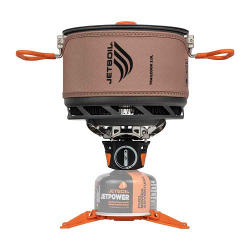 |
Trip 4: Red Castle Lake — Moderate to Hard
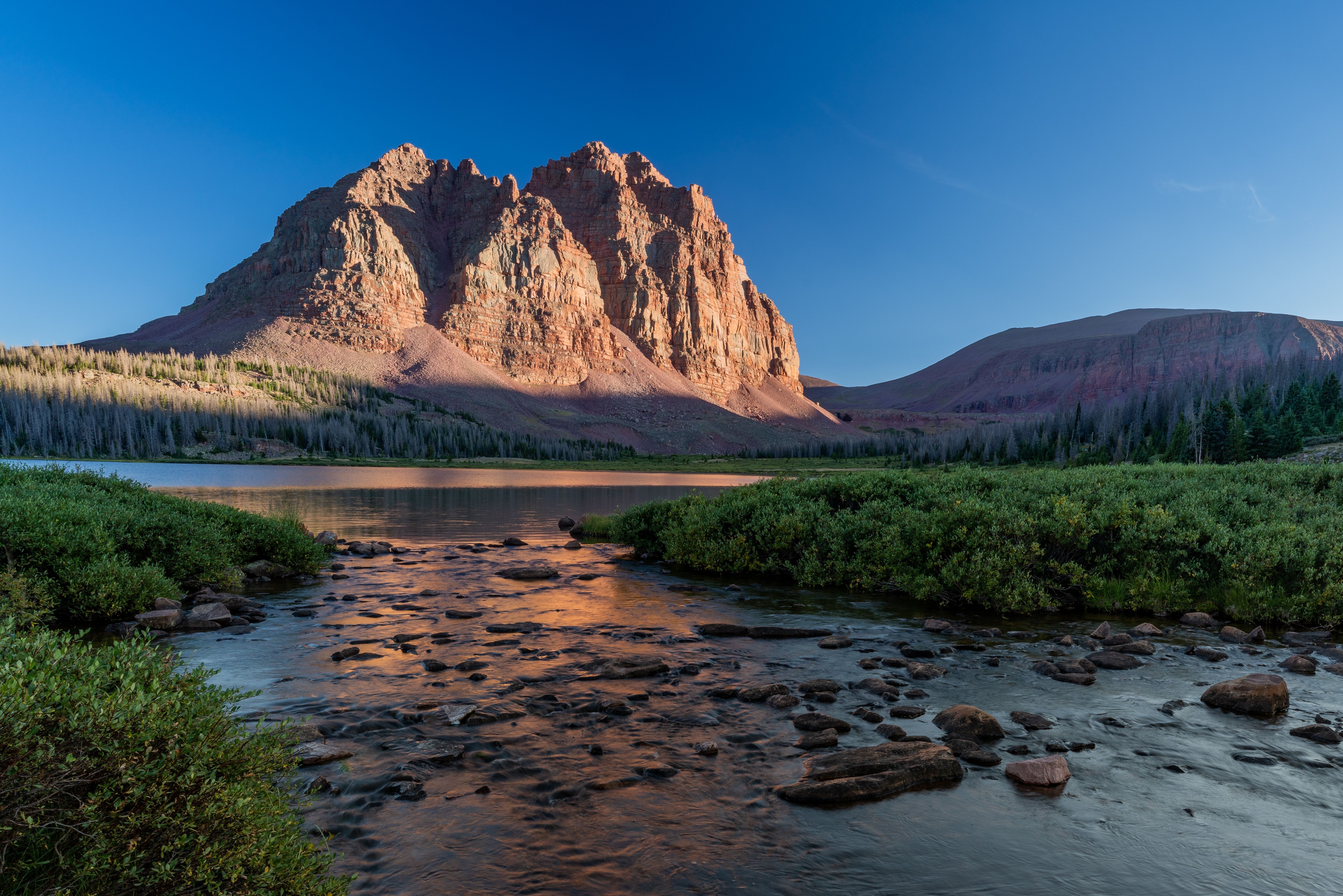
Trailhead: China Meadows Trailhead, north slope (Wyoming side)
Distance: about 20 to 22 miles round trip to Lower Red Castle Lake, or around 26 miles round trip to Upper Red Castle Lake
Elevation gain: gentle grade overall, with one steep switchback section in the final mile
Red Castle earns its spot on this list for the payoff, not the terrain. The grade out of China Meadows stays gentle almost the entire way, climbing through lodgepole forest and open meadow with only one steep stretch of switchbacks before Lower Red Castle Lake comes into view below the peak's crumbling red spires. What makes this one harder is pure distance. It's 10 to 11 miles one way to Lower Red Castle, or about 13 miles to reach the upper lake, which adds up to a long day no matter how you split it. Most people treat this as a three day, two night trip, camping at Lower Red Castle the first night and pushing to the upper lakes on day two. Moose sightings are common, and both lakes hold fish if you bring a rod.
This is where pack volume starts to matter. The Big Agnes Sweetwater UL 60L Backpack carries enough for a two to three night trip without tipping into expedition-pack territory, and it comes in small, medium, and large torso sizing so the fit doesn't turn 20-plus miles into a shoulder problem.
Big Agnes Sweetwater UL 60L Backpack |
Trip 5: Kings Peak — Hardest
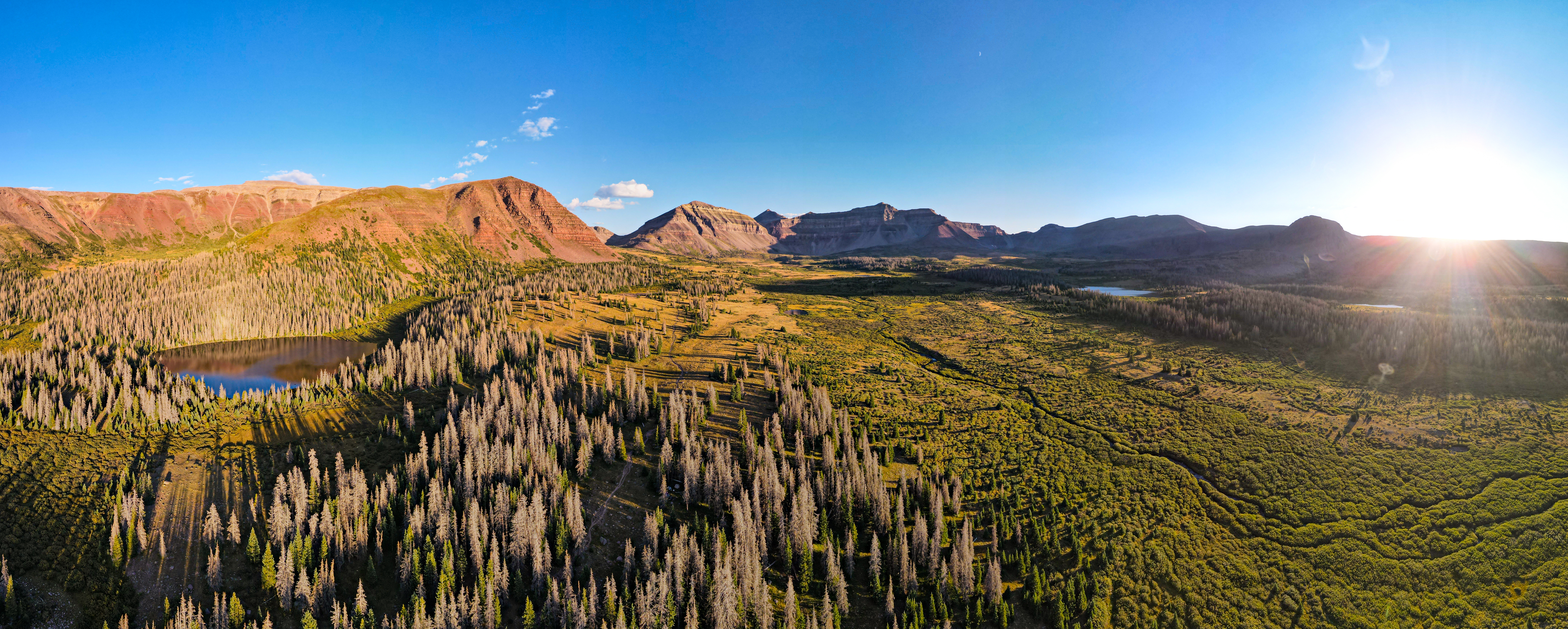
Trailhead: Henry's Fork Trailhead
Distance: about 27 to 29 miles round trip
Elevation gain: about 4,800 to 5,500 feet
Summit: 13,528 feet, Utah's highest point
Kings Peak is the aspirational trip on this list, and it earns the buildup. The Henry's Fork Trail is the standard approach, gaining relatively little elevation for the first 7 to 8 miles to Dollar Lake, the most common base camp, before the real climbing starts over Gunsight Pass and up through Painter Basin toward Anderson Pass. The final push to the 13,528 foot summit is a boulder scramble, non-technical but slow and exposed, which is why most groups leave camp well before sunrise to be off the ridge before afternoon thunderstorms build. Most people take three days, one to hike in, one for the summit push, one to hike out. Altitude, distance, and weather are the real obstacles here, not technical climbing, and turning around before the summit is a completely normal outcome if conditions turn.
Footwear matters more on a trip like this than almost anything else in your pack. The La Sportiva Ultra Raptor 3 GTX Hiking Shoe handles the rocky, exposed sections of the Henry's Fork approach with a sticky outsole and a waterproof membrane for stream crossings and surprise snow, and it's built in men's and women's fit as well as a mid-height GTX boot for anyone who wants more ankle support on the boulder field near the summit.
|
Men's La Sportiva Ultra Raptor 3 GTX Hiking Shoe |
Women's La Sportiva Ultra Raptor 3 GTX Hiking Shoe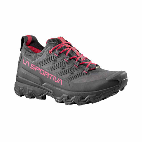 |
La Sportiva Ultra Raptor 3 Mid GTX Hiking Boot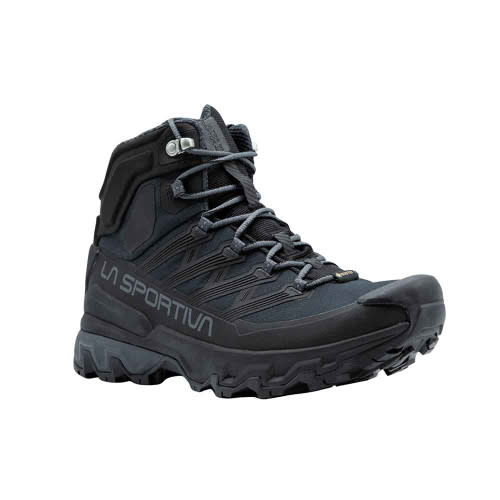 |
La Sportiva Ultra Raptor 3 Mid GTX Hiking Boot |
Match Your Tent to Your Crew: The Copper Spur UL Lineup
Every trip on this list works as a solo, duo, or group outing, and that's really a question of tent capacity more than trail choice. Big Agnes' Copper Spur UL lineup runs from a 1-person shelter through a 5-person basin tent, all built on the same ultralight fly and floor fabric, so packed weight scales predictably with capacity instead of jumping around between different tent lines. The XL versions add extra floor length and a bit more vestibule space for taller campers without changing how many people the tent sleeps. Here's how the sizes stack up.
| Model | Capacity | Packed Weight | Floor Area | Best Paired Trip |
| UL1 | 1-Person | 2lb 6oz | 20 sq ft | Ruth Lake or a solo Cuberant Lake trip |
| UL2 | 2-Person | 3lb 2oz | 29 sq ft | The all-around pick for most trips on this list |
| UL2 XL | 2-Person, extra length | 3lb 5oz | 36 sq ft | Same trips as the UL2, for taller campers |
| UL3 | 3-Person | 3lb 14oz | 41 sq ft | Island Lake or Red Castle group trips |
| UL3 XL | 3-Person, extra length | 3lb 9oz* | 48 sq ft | Same trips as the UL3, for taller campers |
| UL4 | 4-Person | 5lb 11oz | 57 sq ft | Island Lake family or friend groups |
| UL5 | 5-Person | 5lb 11oz** | 57 sq ft** | Larger basin trips into Island Lake or Red Castle |
UL1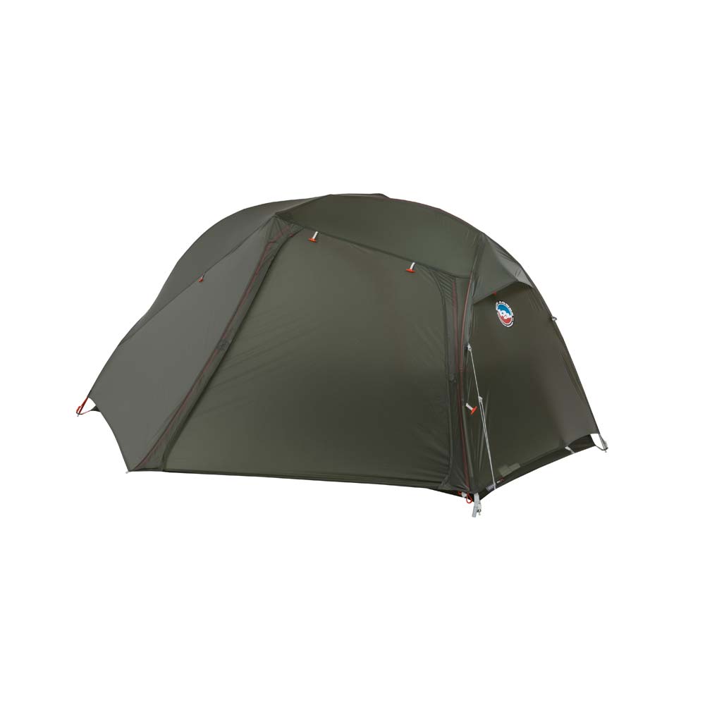   |
UL2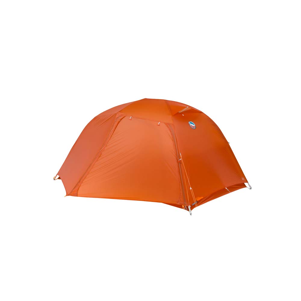 |
UL3 |
UL4 |
UL5 |
UL2 XL |
UL3 XL |
UL2 mtnGLO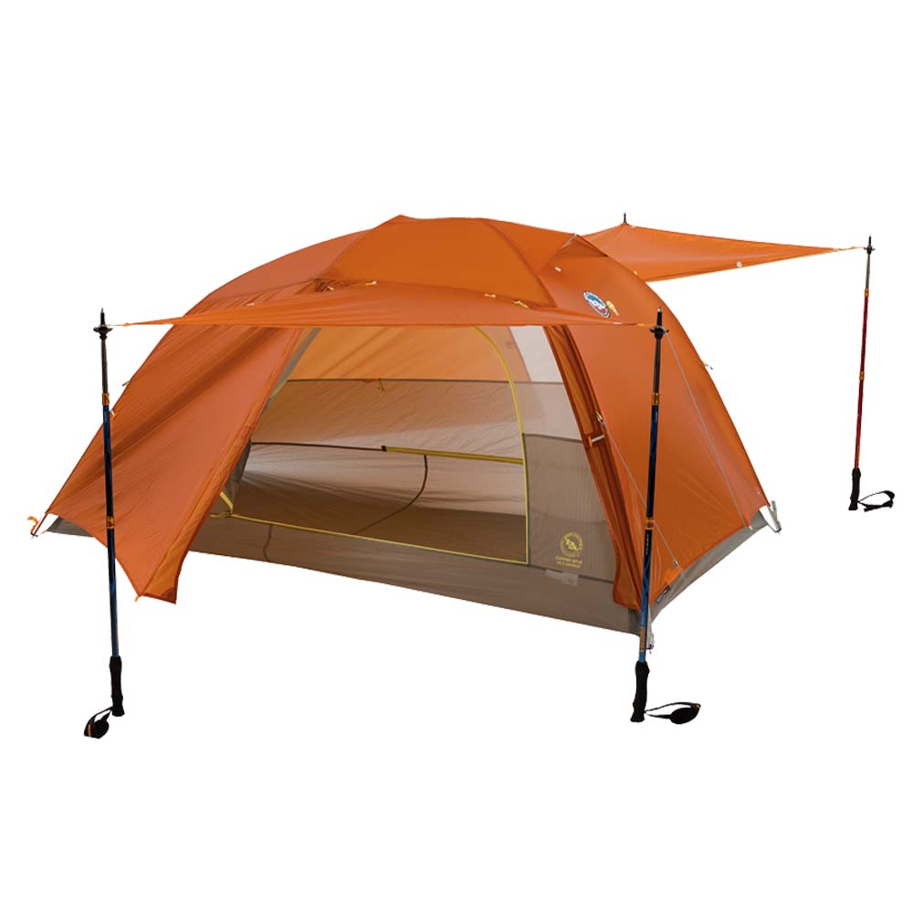 |
UL3 mtnGLO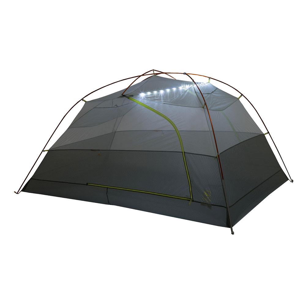 |
Uintas Backpacking Trips at a Glance
| Trip | Difficulty | Distance | Trailhead | Best For |
| Ruth Lake | Easiest | ~2 miles RT | Ruth Lake Trailhead (Mirror Lake Hwy) | First-timers, families, gear testing |
| Cuberant Lake | Easy to Moderate | ~6.5 miles RT | Pass Lake Trailhead (Mirror Lake Hwy) | First-time overnighters, solitude seekers |
| Island Lake | Moderate | ~9 miles RT | Crystal Lake Trailhead (Mirror Lake Hwy) | Anglers, families, second or third trips |
| Red Castle Lake | Moderate to Hard | ~20 to 26 miles RT | China Meadows Trailhead (north slope) | Distance over difficulty, photography |
| Kings Peak | Hardest | ~27 to 29 miles RT | Henry's Fork Trailhead | Summit-seekers, experienced backpackers |
Frequently Asked Questions
What's the easiest overnight backpacking trip in the Uinta Mountains?
Ruth Lake is the easiest, at about 2 miles round trip with only 260 feet of elevation gain from the trailhead off the Mirror Lake Highway.
Do I need a permit to hike or camp along the Mirror Lake Highway?
Yes, trailheads along the Mirror Lake Highway require a separate self-serve day-use or multi-day pass, in addition to the highway's own seasonal fee. The Interagency Annual Pass is also accepted at most trailheads.
When is the best time to backpack the Uintas?
July through September is the safest window. Snow can linger at elevation into late June or early July, and access roads on the range's more remote north slope trailheads, like China Meadows, sometimes stay rough or snow-covered even after the Mirror Lake Highway itself has opened for the season.
How hard is the hike to Kings Peak?
Kings Peak is a 27 to 29 mile round trip hike with roughly 4,800 to 5,500 feet of elevation gain to the 13,528 foot summit. It's non-technical but long, high, and exposed to afternoon weather, which is why most groups take it on as a three day trip rather than a single push.
About the Author
 Derek Newman
Born in the Wasatch, Derek has had an affinity for mountain life since day one. He was on skis the year he learned to walk, and as a high school graduation present he gifted himself rock climbing lessons. Nearly two decades later, Derek spends most of his time climbing up and/or skiing down most of the mountains around Salt Lake City, and he’s traveled around the world multiple times for the sole purpose of peak exploration. When he isn’t a man about camp, he’s working in Campman’s content marketing crew writing up blogs about backcountry skiing or rock climbing as well as describing products that he’s used personally. He’s climbed in most climbing shoes, toured on most backcountry skis, and ridden the resort on skis, snow
Share on: